SPECIAL SERVICES
Photogrammetry
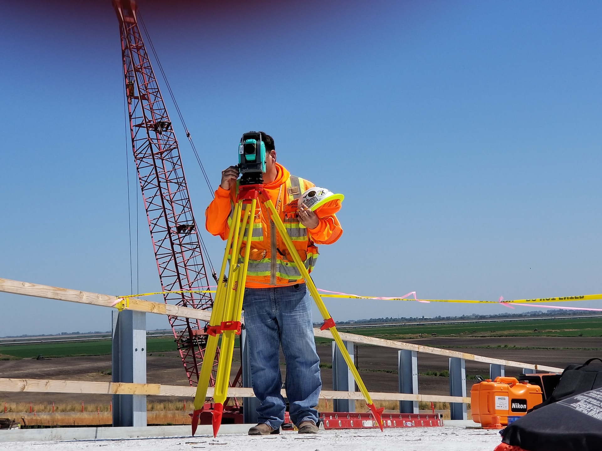
Photogrammetry is a form of remote sensing that uses high quality orthorectified images suitable to measure the location of features on a site. Our technology allows us to apply special forms of photogrammetry such as Close-Range Photogrammetry (CRP) to allow us to take survey grade measurements in difficult to access areas using photogrammetry. Using modern UAV technology together with traditional geodetic survey control, survey grade accuracy is achievable using this kind of remote sensing method. That allows us to keep people out of harms way, speed up data collection and capture a significant amount of detail.
Photogrammetry services are generally used for:
Advertising
Architectural
Real Estate

Topographic Mapping of large sites

Site inspections/assessments
Site Documenting